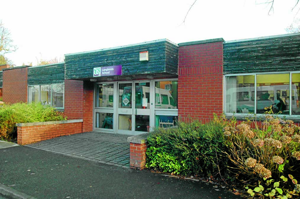
A FORMER school in Dumfries could be demolished to make way for a small housing development.
The site of the Langlands special school building in Loreburn Park is being considered for a redevelopment further down the line.
Dumfries and Galloway Council has put forward proposals to its own planning department for planning permission in principle to transform this site.
Langlands school closed several years ago and is now part of the North West Community Campus, which also replaced Lochside and St Ninian’s primary schools, as well as Maxwelltown High School.
Council planning committee papers state: “The application site is located at former Langlands School. This site is accessed from Loreburn Park, off Lovers Walk in Dumfries.
“Gracefield Studios is located to the south-west, an area of woodland followed by cycle path and railway line to the east and former council offices, Woodbank, to the north-west.
“The area to the south is residential and comprises a mixture of detached and semi-detached dwellinghouses.
“The former school is single storey in height with flat roof and of brick construction. Site otherwise sees access and car parking spaces as well as generous areas of former playground and areas laid to lawn and vegetation.
“The application seeks planning permission in principle for the erection of four dwellinghouses on the site. This would include demolition of the former school.
“Although indicative plot boundaries are shown, no other details of the proposed dwellinghouses have been submitted at this stage.”
While there have been no issues raised by Scottish Water or the council’s flood risk management team, five objections have been lodged from nearby residents.
Their concerns centre around traffic and access issues, as well as issues with flooding and drainage.
The objectors complain about the impact on traffic and argue that the road is too narrow for demolition vehicles. They also highlighted that there is no pavement or road markings on Loreburn Park road.
Furthermore, they claim that a large proportion of land covered by the proposal is identified at risk of surface water flooding on SEPA maps.
The planning application will be considered by councillors at the planning committee next Wednesday.


