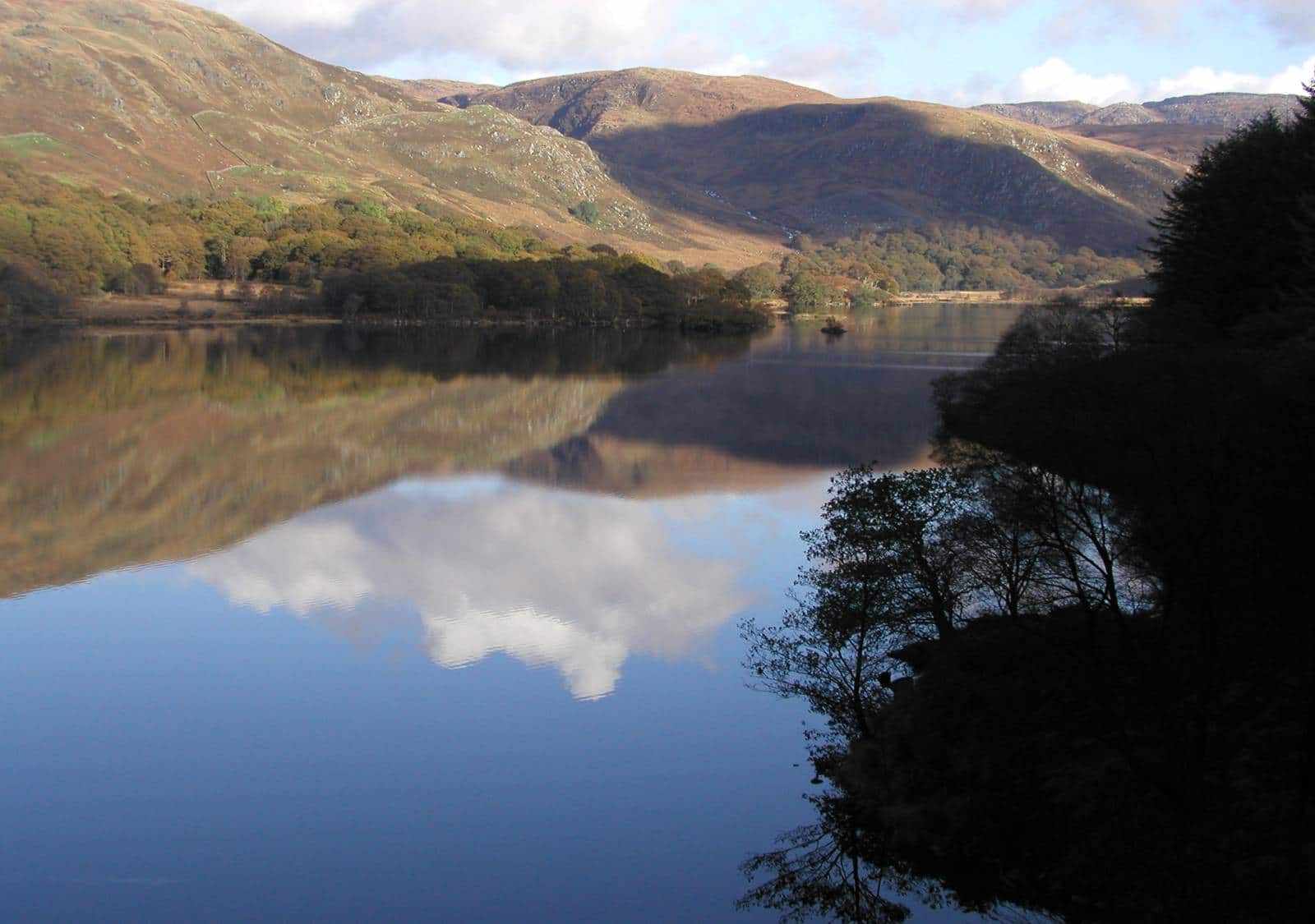
Running from Portpatrick in the south west coast and finishing at Cockburnspath in the east, the Southern Upland Way is Scotland’s coast to coast path and stretches across 214 miles of varied countryside. A new website launched by Dumfries and Galloway Council provides all the information needed to walk, cycle, run or route the route, including a new interactive map showing the locations of hotels, bed and breakfasts and campsites.
It also shows food and outdoor equipment stores, cafes, pubs, tourist attractions and many fascinating historical sites. The new website gives details of a selection of short walks and rides for people of any ability level, varying from three miles to ten miles with various starting points.
Dumfries and Galloway Council economy and resources committee chairman Rob Davidson said: “As one of Scotland’s great trails the Southern Upland Way brings people from across the world to Dumfries and Galloway. The new website will help people to find the best B&Bs, hotels, cafes and shops along the route and will benefit the whole of the region. In its entirety it’s a challenging route but it also provides fantastic shorter walks; on Sunday I walked a short part of the route near Glentrool, which made for a relaxing and enjoyable afternoon in stunning scenery.”
Vice chairman Archie Dryburgh added: “Dumfries and Galloway has some of the most spectacular scenery in Scotland. Locals and tourists alike use the Southern Upland Way to get out and enjoy it. This website will encourage even more people to use the route which will be fantastic for the economy of the region.”
Dumfries and Galloway Council is also developing a new long distance route, the Rhins of Galloway Coastal Path, with a website to be launched soon. The new Southern Upland Way website can be found at www.southeruplandway.org.


